Aerial Services Using Top-of-the-line UAVs
We provide high-quality aerial mapping, RAW photos, and videos tailored for the construction and commercial real estate industries.
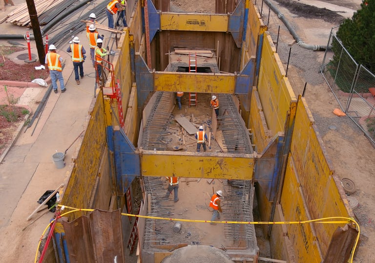
Construction Aerials
Specialized aerial imagery and mapping services for construction projects, enhancing planning and execution efficiency.

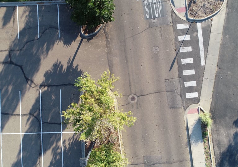
Paving Solutions
Aerial photography and mapping services are specifically designed for paving companies to improve project outcomes.
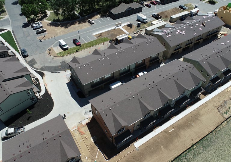
Our UAV services deliver precise aerial data, helping commercial real estate firms visualize and market properties effectively.
Commercial Real Estate Imaging


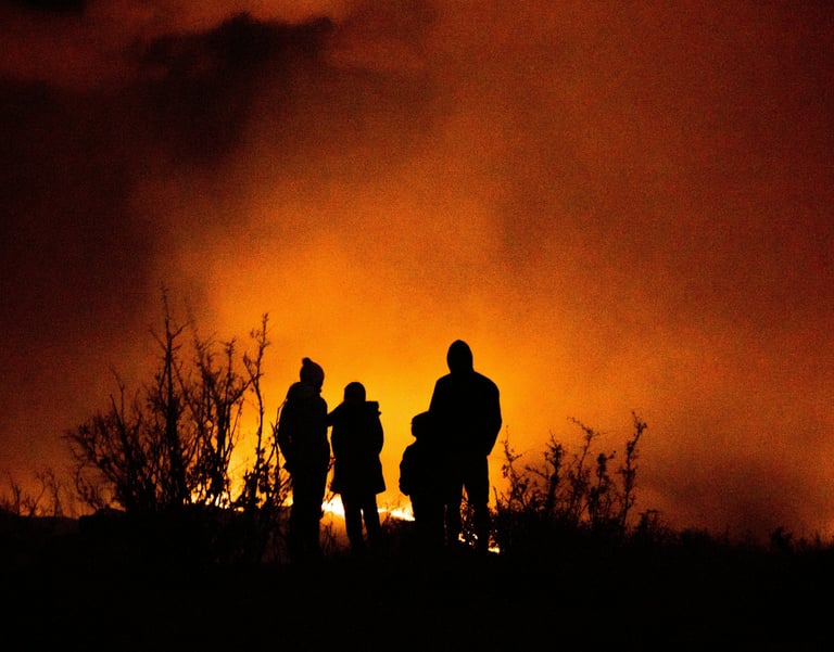

Arieal Wildfire Mitigation Inspections
Overflight of your home or business and the surrounding area, providing you with valuable information about the wildfire risks around your property.
Aerial Services
Providing aerial mapping and video for the construction industry, commercial real estate, and inspections.
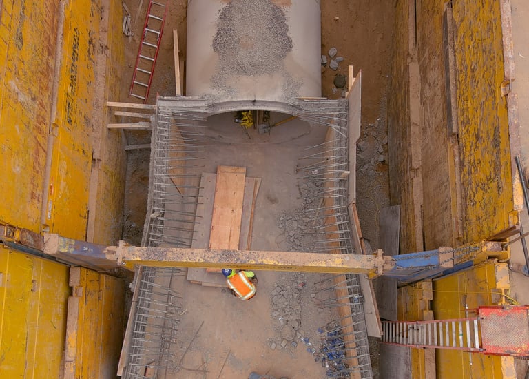

Construction Mapping
Precision aerial mapping for construction project efficiency and accuracy.
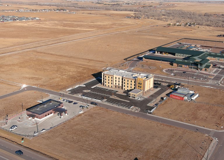

Commercial Real Estate
High-quality aerial photos showcasing properties for potential buyers.


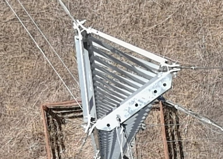

Paving Projects
Detailed aerial footage for paving project assessments and planning.
Tower Inspections
Comprehensive aerial inspection services tailored to your needs.
Innovative
Aerial solutions for construction and real estate.
RMUAVs
Quality
contact@rockymountainuavs.com
(303) 903-4809
© 2024. All rights reserved.
